
-
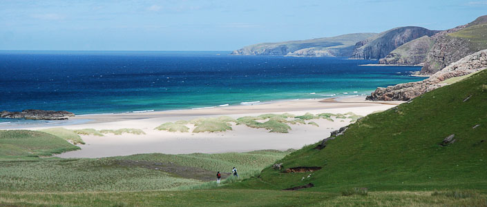
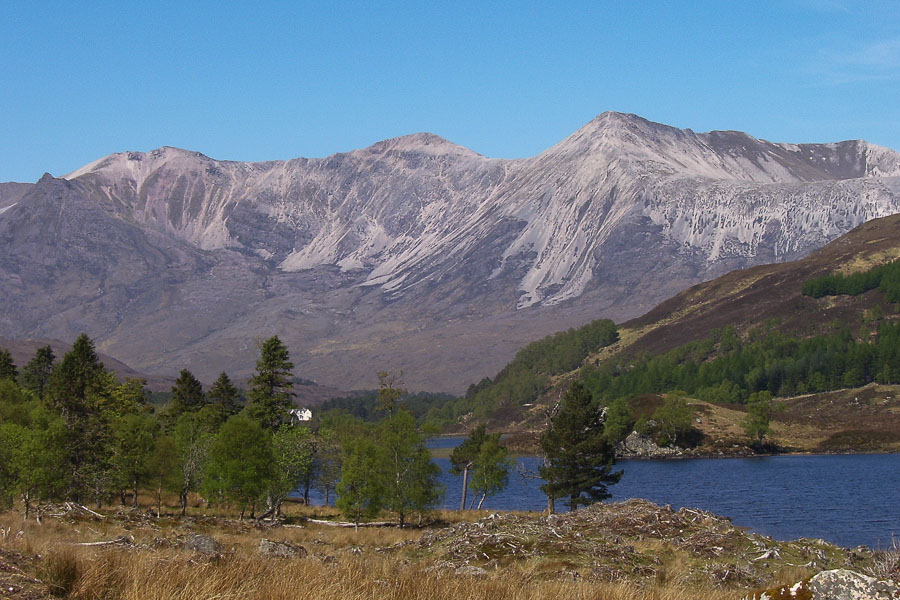
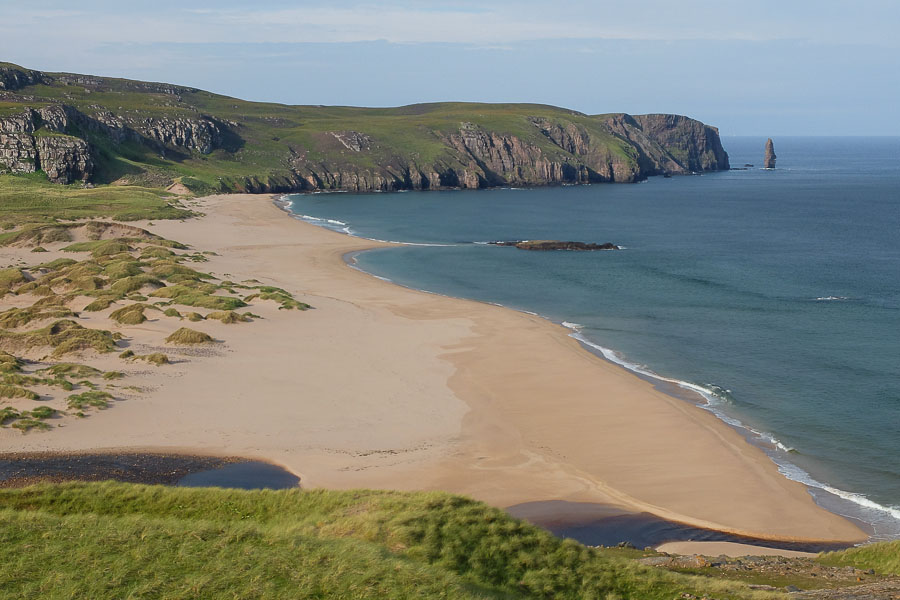
Approaching Sandwood Bay, Sutherland
-
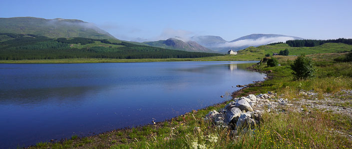
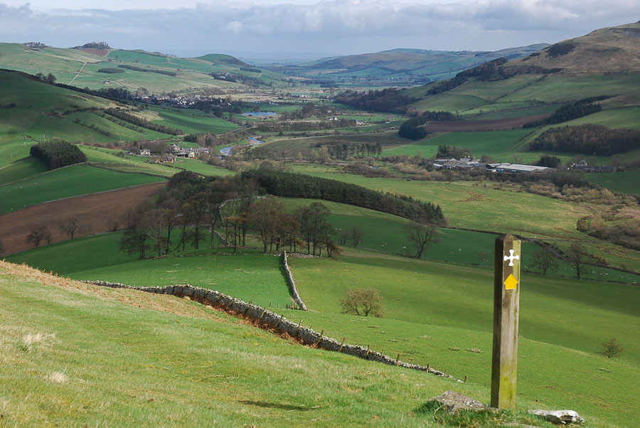
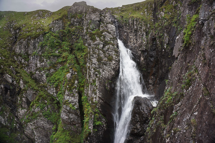
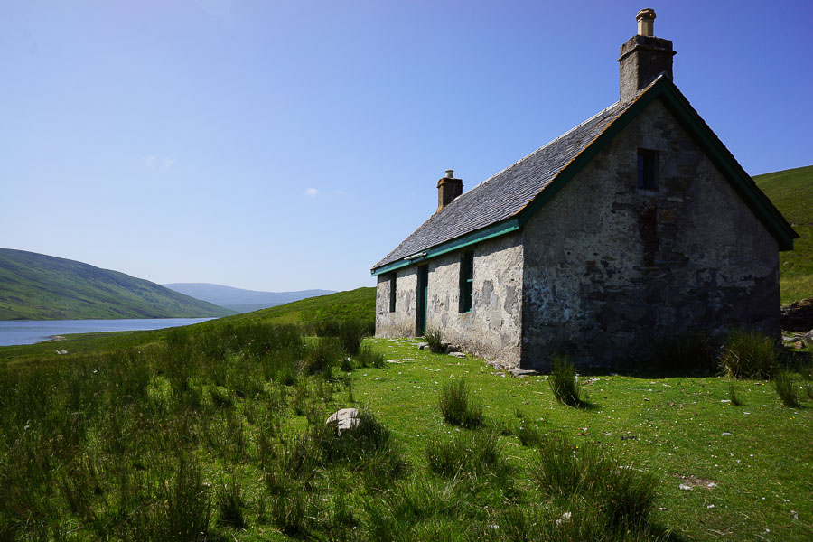
Benmore Lodge
-
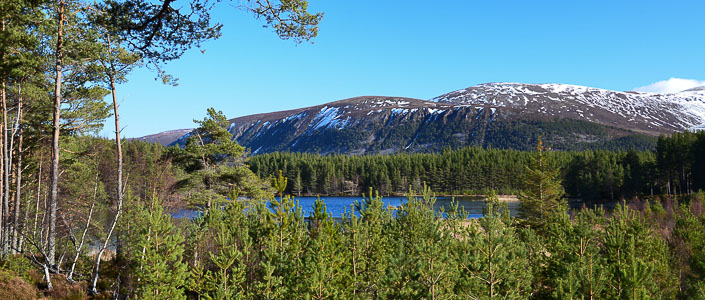
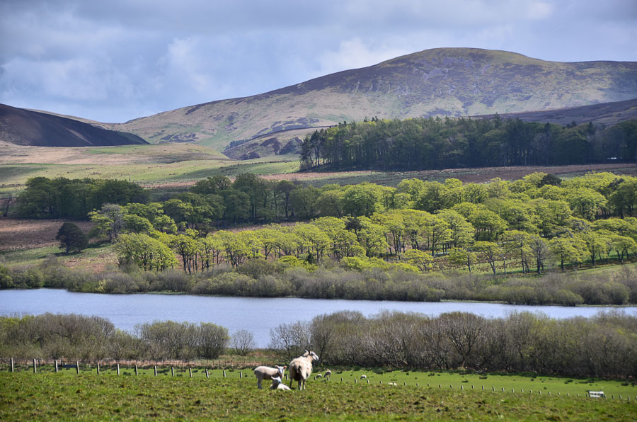
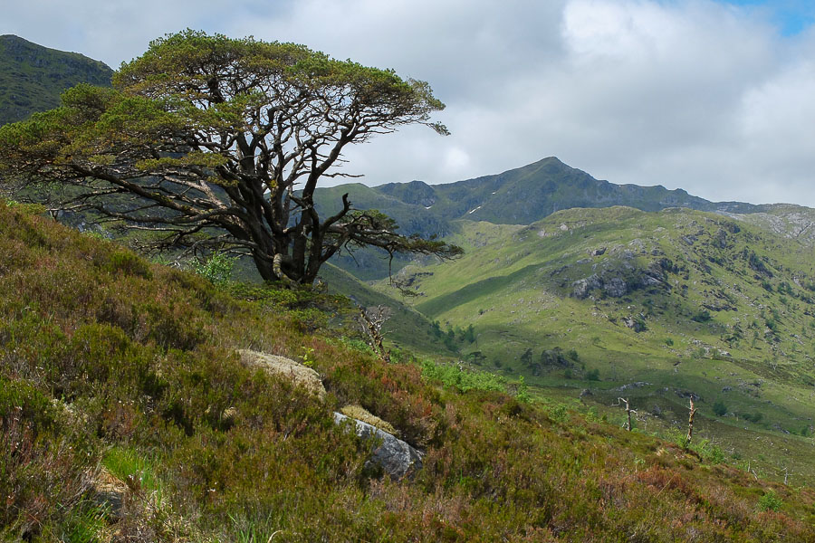
Uath Lochans, Cairngorms
-
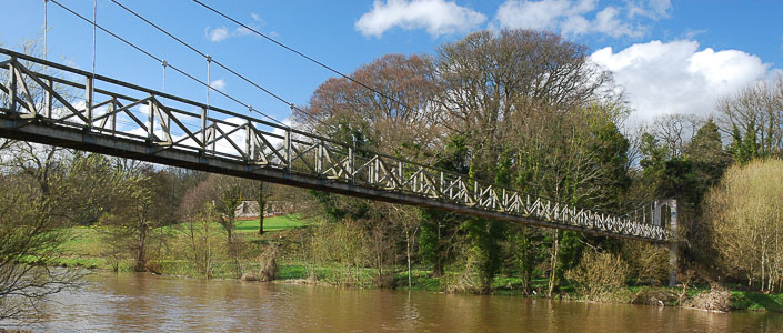
Monteviot Suspension Bridge, Borders
-
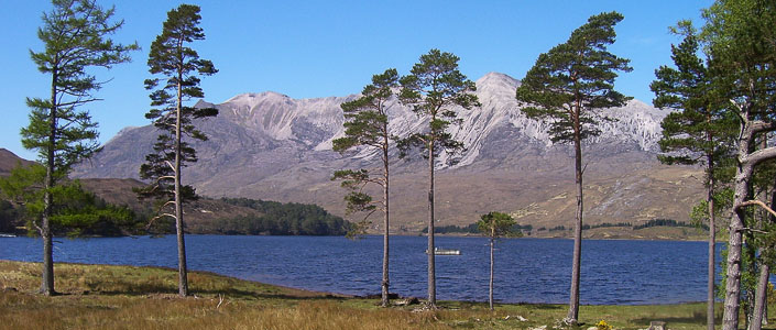
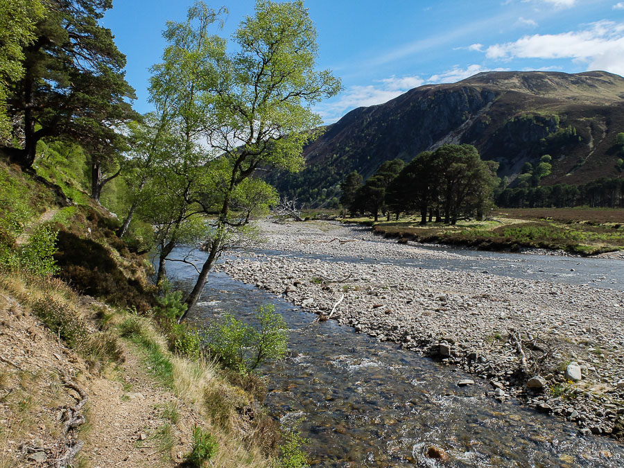
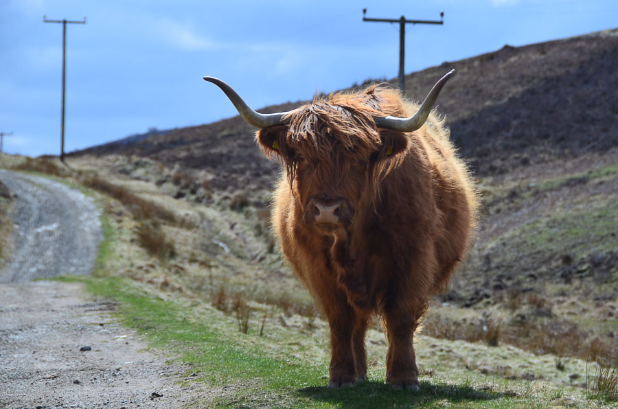
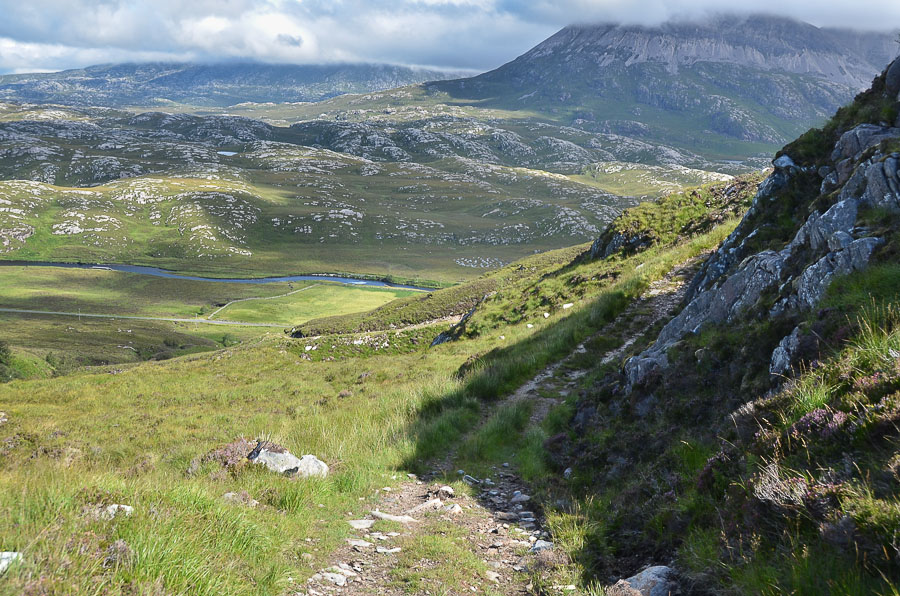
Beinn Eighe, Torridon, Wester Ross
The Scottish National Trail
The Scottish National Trail is an 864 kilometre-long long distance walking route running the length of Scotland from Kirk Yetholm to Cape Wrath.
Devised by outdoors writer and broadcaster Cameron McNeish, the Trail offers very varied walking, following long-established footpaths for much of the distance but becoming progressively more difficult as it heads north, finishing with a tough stretch of backpacking - with some pathless and demanding terrain - on the final stretch of the Cape Wrath Trail.
About the Trail
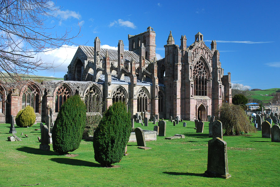
The Trail begins at Kirk Yetholm in the Scottish Borders - the end point of the Pennine Way. It follows part of St Cuthbert's Way northwards to the town of Melrose with its picturesque Abbey, and then traces the course of the Southern Upland Way to Traquair.
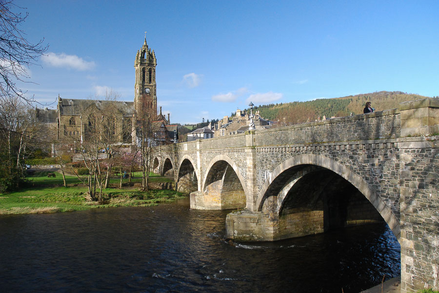
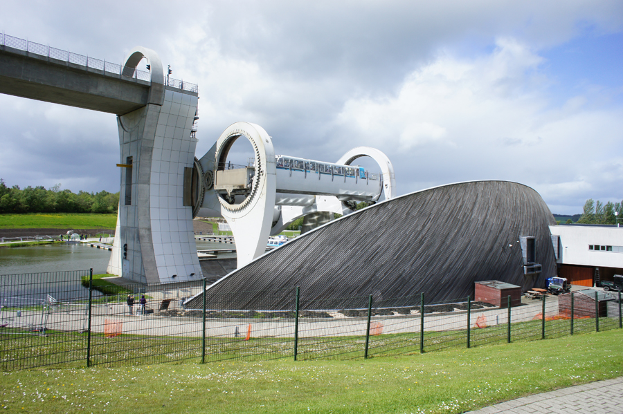
The route runs by the River Tweed up to Peebles before climbing over the Meldon Hills and then the Pentlands to reach the capital city, Edinburgh. Towpaths give very easy walking alongside the Union Canal to Linlithgow and on to the amazing Falkirk Wheel. The Forth and Clyde Canal carries the route to the northern fringes of Glasgow before it strikes north to join the West Highland Way at Milngavie. At Drymen the trail switches to follow the Rob Roy Way to Callander, before a wilder stretch passes through Comrie and over the hills and glens of Perthshire to Aberfeldy and then Pitlochy.
From Blair Atholl is the first section of the route that requires backpacking, passing through glorious Glen Tilt and Glen Feshie through the Cairngorms National Park. The Corrieyairack Pass then leads over the Monadhliath to Fort Augustus and the Great Glen. The Great Glen Way is followed briefly before the route leads through Glen Garry and on to the great mountains of Kintail.
By this point the route has joined the Cape Wrath Trail - a more demanding route for backpackers. The rewards increase too, with the glories of the dramatic West Highlands - the Falls of Glomach, the wilds of Monar and the Great Wilderness of Letterewe beyond Kinlochewe. The route crosses wild country to Oykel Bridge and then northwards to Inchnadamph and into Sutherland. A final wild stretch leads through this lonely land, passing the iconic beach of Sandwood Bay en route to Cape Wrath - and journey's end.
The Walkhighlands Guide
Walker's website Walkhighlands has produced a series of detailed stage descriptions covering the whole route - written by on-the-ground researchers who have walked every step of the way to check it for you. Each stage is illustrated by a series of photographs and with Ordnance Survey mapping, as well as offering downloads in GPX format for use in GPS devices.
If you register on the site, you can also mark off each stage of the route as you complete it, keeping a record of your progress towards completing the whole walk.
Access the detailed Scottish National Trail guide.
The Landscape
Every stage on Walkhighlands is fully illustrated with photographs, but the following gallery should help give you a flavour of the wonderful landscapes and terrain to be discovered by walking the trail.


The Challenge
Along its length, the Scottish National Trail has varied sections which will appeal to every type of walker. It becomes progressively more difficult as it proceeds northwards - eventually becoming a challenging backpack through the wildest Highland landscapes.
The section through the Borders follows a range of established, marked paths, with a fair amount of ascent and descent. This part should appeal to anyone who is a regular walker. The part through the central belt follows canal towpaths offering the easiest walking. The section on the West Highland Way and Rob Roy Way to Callander is also fairly straightforward. After Callander the going can become tougher. There is an unbridged river crossing on the next stage to Comrie, and then a tent may need to be carried unless a pick up has been arranged to split the stretch to Aberfeldy. From Blair Atholl the route embarks on a wild 3 day crossing of the Cairngorms - apart from the potentially tricky river crossings, the route follows established paths but a tent and supplies will need to be carried.
Later the route joins the Cape Wrath Trail. This crosses some very wild country and appeals most to more experienced walkers and backpackers. Shelter and supplies are irregularly encountered and need advance planning; there are more river crossings which can become impassable in spate conditions. Following the route needs navigation skills and there are many pathless sections.
Although the greatest challenge is to complete the walk in a single outing - taking around 5 weeks walking - it is more usual to tackle it in sections. The Walkhighlands site enables users to log which sections they have done as they aim to complete the whole trail.
Video Intro
Cameron McNeish introduces the trail in this short video from the Scottish Government.
Book and DVD
As well as the free online Walkhighlands' guide to the Scottish National Trail, you can also purchase Cameron McNeish's book and DVD featuring the trail - Scotland End to End. Please note these publications are not connected to Walkhighlands.
Buy the Book

Accompany writer and broadcaster Cameron McNeish as he walks from Kirk Yetholm in the Scottish Borders to Cape Wrath
Buy the DVD
